NATIONAL GEOPORTAL

The issue of having complete, systematic and reliable spatial data and managing it effectively is one of the challenges in public administration, which aims to create a common geographic information online platform.
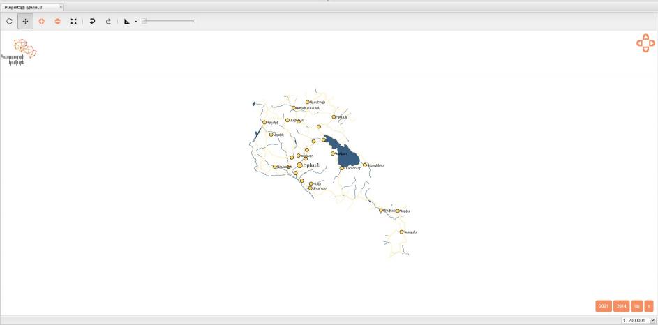
On July 29, 2022, the maparmenia.am platform was launched, where the hydrographic and transport network, relief, cadastral maps, orthophotoimages are reflected. These layers are accessible to the public without registering on the platform, and in addition to viewing the map, the user can also perform preliminary geospatial analysis of any plot. For example, measure the distance of the plot from the highway, look through the plot location, terrain density, etc. The platform is constantly updated. new layers and various analysis capabilities are added. It also supports the web service standards WMS, WFS developed by the Open Geospatial Data Consortium (OGC), which enable the operational exchange of spatial information.
The first step towards the expansion of online services and implementation of spatial data infrastructure is the transfer of cadastral maps to an online cartographic environment. Currently, cadastral maps are being edited with the new system.
The cadastral maps of settlements, which current management is carried out automatically, are updated both through the maparmenia.am and e-cadastre.am platforms.
The cadastral maps are also linked to the Armenian Real Estate Information System (ARPIS) text base.
Various reporting capabilities have been implemented in the platform. For example, a report on the changes made in the cadastral map, comparison of cartographic data with the registration database, preparation of the land balance sheet, etc.
Thus, the Cadastre Committee aims to create a unified platform of the geographic information system, which implies close cooperation and data exchange with various bodies and organizations.